|
|
Directions
This is Eagle Rock Trailhead. There is no sign, just some red flagging tape hanging on some bushes by the road.(Note: In 2020 when we climbed it, there was an old hand painted aluminum sign full of bullit holes at the trail head.) Keep a sharp lookout for the trail heading into the woods.


The trail starts out as an easy walk meandering through the hardwoods |
|
Some colorful mushrooms on the trail 
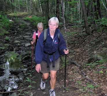
Eventually the trail enters an old logging road that also doubles as a stream bed. In a short distance the logging road turns left and the trail goes straight. Be alert, it easy to miss.
| |
|
Connie goes under one of the several blow downs on the trail. 
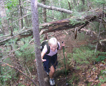
Another blow down.
|
|
|
The trail eventually gets rugged with lots of moss covered rocks. 
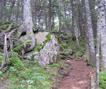
The upper part of the trail was all covered with bright green moss. Notice the tree growing on top of the rock. Very pretty.
|
|
|
The trail is becoming steeper with plenty of tree roots to climb up over. 
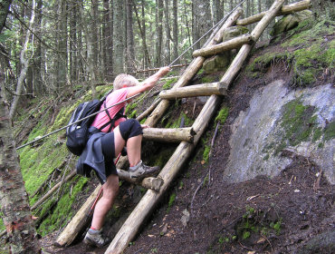
About two thirds the way up we find the ladder and rope we had read about. Connie is making her way up over it. The steps are a little far apart but it wasn't to difficult to navigate. |
|
|
Even I had to have a picture on the ladder. My hiking book mentioned a ladder and rope to assist getting over a steep portion of the trail. So we had some anticipation as to what we would find, only to discover a short ladder and a rope as a handrail. It makes for a good story. 
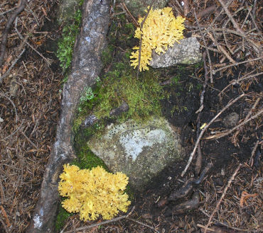
More pretty things on the trail. |
|
|
We are close to the top now. We come across a granite ridge that goes for about fifty yards and has trees and moss growing all over it. Very unusual looking. 
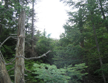
All of a sudden we notice a large hunk of granite rising just above the trees and we realized that shortly we were in for something special. |
|
|
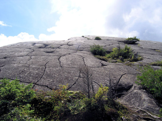
We rounded a corner and looked up and there it was. Beautiful!
Now we have to climb up there.
|
|
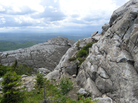
On the other side is the second big hunk of granite. This is Eagle Rock
so it's hard not to think of these two protruding rocks as the wings of
an Eagle. Anyhow it is spectacular.
|
|
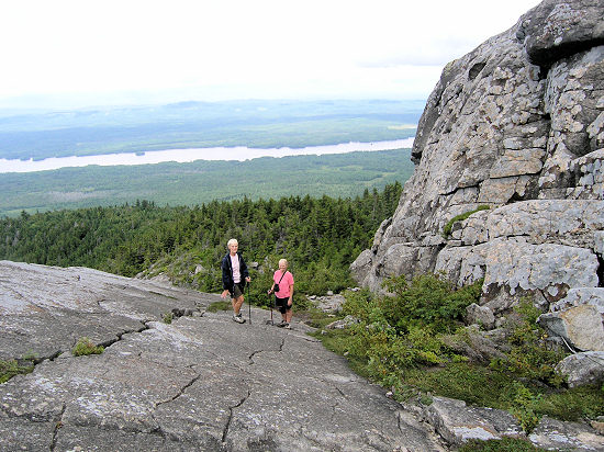
Joyce and Connie are standing between the two "wings" with
Indian Pond in the background.
|
|
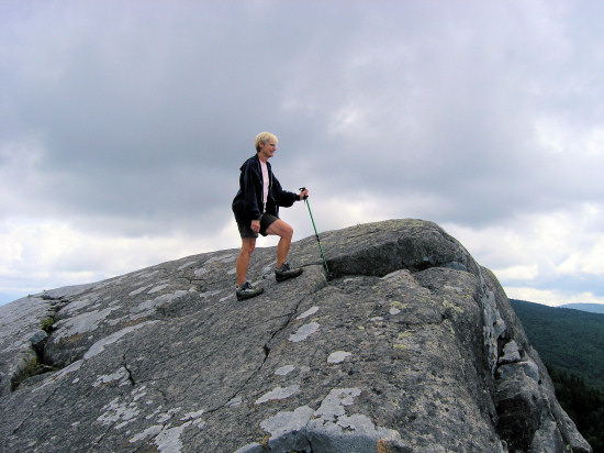
Joyce approaching the highest point of the south wing.
|
|
It would be hard to find a nicer spot to eat lunch. 
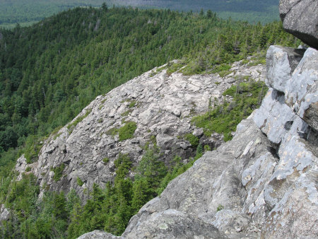
Another great view taking from behind the south wing. |
|
|
Connie and Joyce decide to do a little rock climbing. No, they didn't climb all the way up. 
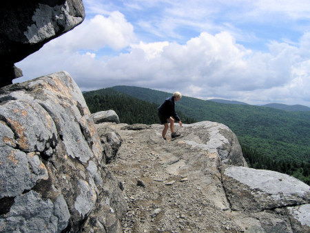
Joyce is exploring the east end of the rock. |
|
|
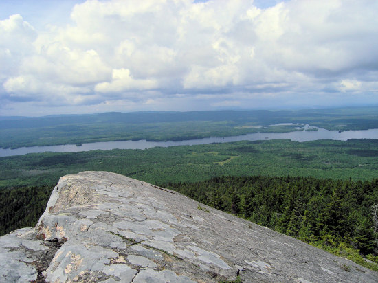
A beautiful view of Indian Pond from the south wing. The West Outlet of the
Kennebec River runs into Indian Pond in that upper cove on the top right of
the pond. The East Outlet runs into the very end of Indian
Pond which is just out of the picture.
|
|
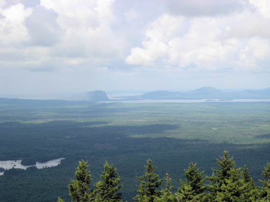
Back up on the north wing looking north. You can see the sheer ledges
of Mt Kineo with Shaw mountain and then Little Kineo to the right, and
lots of Moosehead Lake.
|
|
Joyce and I are sitting on the highest peak of the north wing which is the higher of the two. 
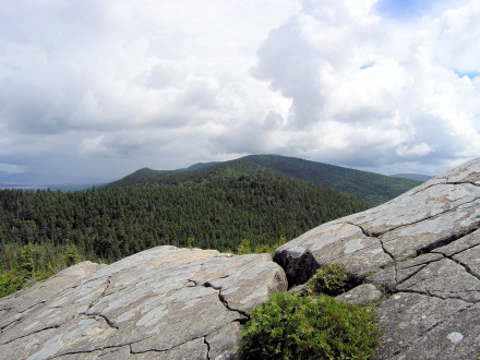
Looking East the highest peak of Big Moose Mountain can be seen peaking up behind the high peak in the foreground. When the cloud weren't hanging over you could plainly see the fire tower there.
|
|
|
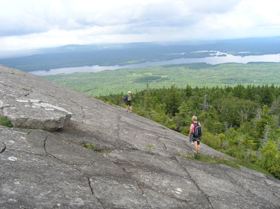
Joyce and Connie are exploring the steep slopes of the Eagle one final time.
|
|
It's time to leave this beautiful spot. So we head down into the forest.
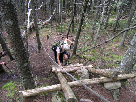
And back down the ladder we go.
|
|
|
Interesting rock markings we noticed on the way down.

We made it to the bottom and got this view of the "Eagle" from the road. Great hike. Highly recommended.
|
|
|
Return to Top |


